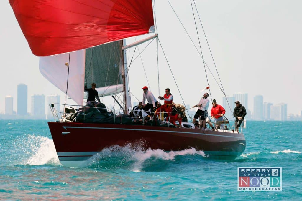
One thing that’s true about racing in Chicago is that it’s very challenging. The weather can throw a lot of curve balls, and this year, with the lake water temperatures being extremely low because of the deep and prolonged winter, another element to add to the mix is wind shear. Expect it.
We essentially get wind shear when the cold water creates a boundary layer of cool air. The warmer air at higher altitudes is trying to displace the cool air at the water level, and the sails will really show a discrepancy in wind strength and angle. On port tack, for example, you’ll be sailing along with the Windex pointing practically head to wind, and the top of the sails are permanently luffing. On starboard it all looks normal. Trimmers will be pulling their hair out trying to adjust to it. Wind shear is generally a precursor to the new wind that’s coming. It’ll be right shifted at the top of the rig, and eventually that warmer air comes down and replaces the cool air. Sometimes it’s really obvious when you’re setting a spinnaker. You’ll set on starboard and have the hardest time jibing to port, yet a normal effort going on the other jibe (to starboard). Racing circles that are further offshore may experience a bit more shear. Be aware of its influence on the sail plan and your angles.
Typical summer pressure breeze is southwest, but the cold lake slows it down and then cancels it out.
Classic meteorology says the sea breeze starts near shore and is strongest there, but not here. Typical summer pressure breeze is southwest, but the cold lake slows it down and then cancels it out. We usually see a “convergence zone” somewhere between 1 to 3 miles offshore. Closer to shore the southwesterly prevails, while further out the southeast thermal prevails. As you leave the harbor in the morning, if the southwesterly weakens as you get out, you know what to expect. In any case, stay away from the lighter convergence zone and go toward whichever breeze is dominant. If your racecourse is far enough offshore to start in the southeasterly, then early in the day expect better pressure further out (left upwind, right downwind). However, later in the day, after the thermal has matured, expect some right shift trend, so be careful about getting hung out left. The most likely direction for thermal to fill in is 105 to 115 degrees, and may end up 130 to 140 degrees or greater by late afternoon.
If you’re on the smaller-boat circles closer to shore (southernmost or Belmont), you might be sailing in the southwesterly all day, in which case, head toward shore (right upwind, left downwind), for better pressure and the beneficial geographic shift. Fronts pass quickly through the area, often accompanied with showers or thunderstorms. If it’s a low-pressure front, you’ll likely get a dramatic left shift—watch out for it. Usually thunder is associated with that, and after the cell passes the wind dies and goes back to normal direction. Westerly winds tend to bring the storms. If the wind goes from southwest to west, you get storms, and then it shifts to the northwest. There could also be one persistent shift in that range. The shift will be longer than the race will last, so you have to treat it as a persistent shift.
The east wind is a beast. It’s not a thermal wind, and in my notes I have about fifteen different disclaimers to this one. If I had one recommendation for unsure tacticians, it would be to go left for pressure and a better angle. It’s the most challenging of all the directions, so the best thing you can do is stay with the fleet.
In the southerly, go to a side. It’s usually a gamble so keep your eyes on both sides of the course. The middle tends to get left out by both sides.
Northerlies tend to last one or two days before dying and being replaced by the summer southwesterly. Day 1 usually comes with big waves and cold air, so full foul weather gear is required. On Day 2, it will fade and do a slow march to the southwest, leaving residual waves. In three days time it will tend to go to the southwest.
With the north wind blowing strong for a few days, water piles up at the bottom of the lake. On the lighter Day 3 of a northerly, the water will start to recede. I’ve seen as much as three-quarters of a knot of current going north, so before racing, throw in the current stick and note the angle and velocity. This data will be particularly useful on the starting line where you need to take it into account. The key is just getting out there early and being one of the first; that’s the victory hour. Pay attention to every boat out on the water; their angles and velocities. These are visuals of the change in the pressure bands and angles on the water. In shear conditions, observe the classes ahead. Are they headed? How many crew are on the rail? Then, do a compare and contrast with another team on a different part of the course. That way you can disseminate the angles and speed.
With regard to visuals, I look for clouds forming on the shore. Puffy high clouds indicate the building lake breeze. No clouds means it will be light in the morning and into the early afternoon, in which case, if it’s light early and there are no clouds over the city, there’s cooler velocity offshore (to the left), before the city heats up and sucks the air in, and fills it (from the right).
—Andrew Kerr, North U., with Perry Lewis, North Sails
