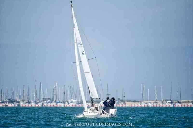
I’ve often dreamed of how nice it would be if the wind just blew steadily with no gusts or lulls. Unless you sail in a wind tunnel, however, the reality is that the wind is always changing. Thats part of what makes sailboat racing so interesting. The ever-shifting wind creates opportunities that can turn a losing race into a winning one in the blink of an eye, and vice versa. To use these changes to your advantage, its in your best interest to understand the dynamics of puffs.
Most puffs are rooted in one of two possible causes–either turbulent mixing of the atmosphere, or airflow over geography. Mixing puffs are most vigorous when cold air moves over a relatively warm-water surface. In this case, the faster moving air from above mixes downward, bringing with it extra velocity and a slight shift it its direction. Geographic puffs are found anytime the wind blows from land to water. The turbulence, which is caused by air flowing over the rough land surface, extends offshore.
First, lets tackle mixing puffs. When cool air moves over warm water, the air is heated from below, causing warm air to rise and cool air to tumble down to take its place. This is why winds can increase so dramatically over the Gulf Stream when cold air moves off the U.S. east coast. The additional turbulence mixes faster-moving air down to the surface. The mixing process is not a simple one, where the entire atmosphere mixes down all at once. Instead, it takes on a random nature and these downward tumbles occur in spurts, or puffs. The larger the temperature difference between the air and the water, the stronger and more frequent the puffs.
Mixing puffs are normally more frequent and intense in the late summer or fall when the air temperature tends to fall below the water temperature. Mixing puffs can occur anytime, however, when cool air moves over water that is relatively warm by comparison.
Sometimes, certain clouds can indicate the types of puffs you may experience on the racecourse. Puffy, cumulus-type clouds are typically found when the mixing of cooler air moving over warmer water produces thermals, which support the clouds development. On the other hand, flatter, more uniform clouds, such as stratus, hint that the atmosphere is relatively stable and there will be fewer mixing puffs–steadier wind and persistent shifts will dominate.
Most of you race in small, localized mixing puffs. Its nearly impossible to predict exactly when and where a mixing puff will occur, so the best we can do is react when they become visible on the water. As the puff mixes down, it will impact the water and spread outward from its center in a fan shape. So boats to the right of the center of the puff will experience a left shift, and boats to the left of the center will experience a right shift.
One common misconception is that mixing puffs move directly downwind–if I see a puff upwind, it will eventually get down to me. Unfortunately, its much more complicated than that. A puff will often move at a slight angle to the mean wind direction, directed by either the wind above the surface or by nearby geography. This can explain why a puff that gets to one boat may not affect the others, even though they are in close proximity.
With geographic puffs, the distance from the offending landmass will normally define the intensity of the puff. Geographic puffs are very different from mixing puffs and thus behave differently. Their behavior is specific to the geometry of the terrain over which they flow.
The best way to understand puffs, both mixing and geographic, is to spend a good deal of time watching and recording them, and the best way to do this is to observe from an elevated position, such as the top of a mast or a bluff overlooking the water. The wavelets created by the puffs as they move across the water are their signature. The wavelets can give a relative indication of the windspeed in the puff and changes in the wind direction around the puff. Puffs appear as darker patches on the water, and these dark patches move with the puff, starting as a small patch, then spreading outward in a half-moon shape downwind.
Watching mixing puffs can tell you about their dynamics. Take some time before and after racing, and sail in a puffy breeze. Watch how the wind changes as you sail into and out of puffs. If you are on port tack and a puff approaches from the left, see if you experience a lift. Alternatively, if a puff appears to your right, see if you get a header.
One of the best times I had watching geographic puffs was while flying on a beautiful fall day across the Adirondack mountains of upstate New York. The elevated position allowed me study puffs as they developed and moved over the numerous small lakes below. The puffs followed a fairly regular and predictable pattern.
Lake and bay racers eventually know where the favored locations for geographic puffs and shifts are, and this is where local knowledge really pays. If you can, spend some time watching where the puffs are, and how they move. What should we be looking for? An elevated position is best, but sailing in the area where you normally race without the pressure of a race in progress can also be informative. This should be done with the wind coming from several different directions if possible. Before long, you should be able to reasonably predict where geographic puffs will form and how they will move. Typically the puffs will start in more or less the same area each time. This location will change slightly depending on the windspeed, direction and stability of the air.


